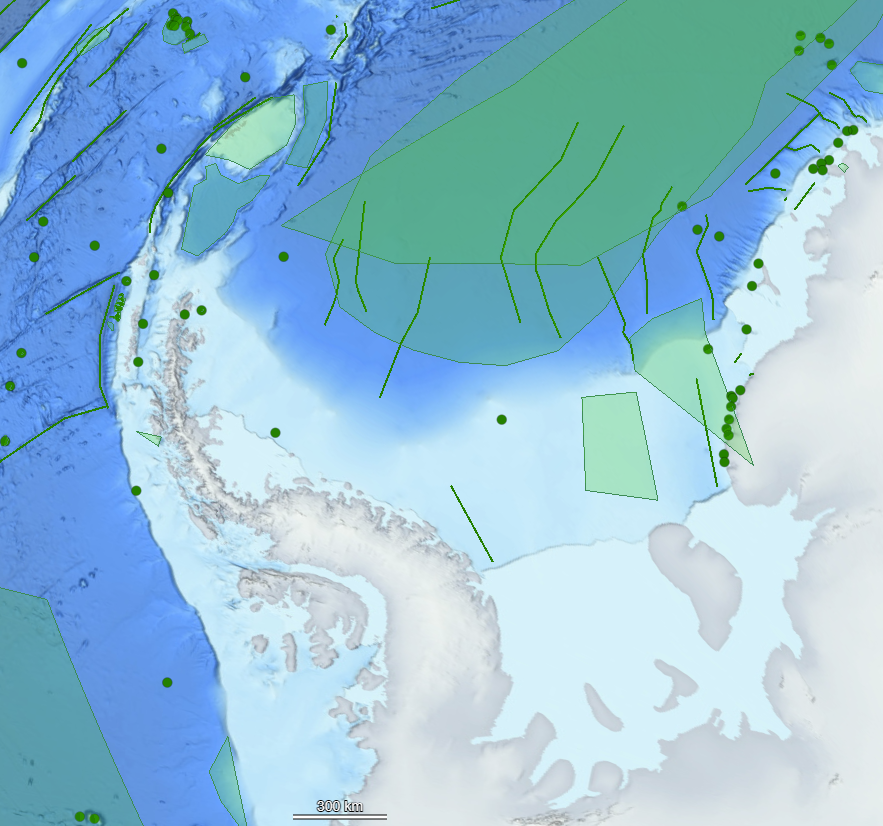
A new version of the International Bathymetric Chart of the Southern Ocean has recently been released and is the most detailed grid of the Southern Ocean. The data showcases the shape of the southern ocean floor, but also highlights the need for place names in the region.
The UK Antarctic Place-names Committee considers names within 12 nautical miles of the coast or ice shelves that are important to navigation. Features further offshore are dealt with by the International Hydrographic Organisation. Undersea feature names are managed by GEBCO (General Bathymetric Chart of the Oceans); they have a digital gazetteer and a web-map to view and download information here.