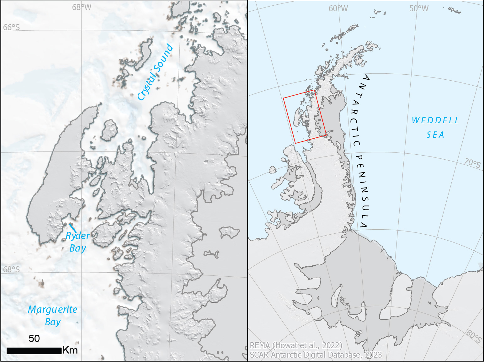
The 23-24 field season is well underway and we’re highlighting some of the interesting places staff will be studying. One team operating out of Rothera Research Station is studying the differences in ecology, distribution and foraging success of crabeater seals along the western Antarctic Peninsula. The field team used aerial photography from a Twin Otter of ice seal habitat in Marguerite Bay and Crystal Sound.
Marguerite Bay was surveyed as part of the French Antarctic Expedition (FAE) in 1909, and named for the wife of Dr Charcot, Commander of FAE. Ryder Bay was roughly mapped during the same the French Antarctic Expedition in 1909 and again by the British Graham Land Expedition (BGLE) in 1936. It was surveyed again by Falkland Islands Dependencies Survey (FIDS) in October 1948 and named after Major Lisle Ryder, who served in the British Graham Land Expedition (BGLE).
Further north, Crystal Sound was first sighted by the FAE in 1908-10, and first traversed by The Penola as part of the BGLE, after air reconnaissance, in February 1936. Most of the Sound and its islands were photographed by Falkland Islands and Dependencies Aerial Survey Expedition (FIDASE) in 1957, and the Sound named after the group of local place names for scientists who studied the structure of ice crystals.